
Stanage Edge - Peak District Walk
Sunday 28th October 2007
t was the second day of the OFC Peak District weekend and broken cars and ill-health had reduced the numbers walking to 4: Phil, myself, John and Neil. Phil lives in Leeds but having grown up in Sheffield was keen to visit Bamford Edge, which had been opened up to the public as a result of the CRoW legislation, making it new ground for him. We set off in poor visibility and light rain with the weathermen forecasting better weather on its way. As we left Bamford Edge the rain stopped, the cloud cleared away and blue sky appeared above us. We were soon enjoying some great views and autumn colours as we headed across the moor and along Stanage Edge.
Start: Dennis Knoll car park (SK 2272 8434)
Route: Dennis Knoll car park - Bamford Edge - Bamford Moor - Moscar Moor - Stanage End - High Neb (TP) - Stanage Edge - Long Causeway - Dennis Knoll car park
Distance: 6.75 miles Ascent: 310 metres Time Taken: 3 hours 45 mins
Terrain: Easy paths on the edges, a very short section of marsh on the moors.
Weather: Rain to start then clearing to blue sky and sunshine with a cold wind on the tops.
Pub Visited: Yorkshire Bridge Inn, Bamford Ale Drunk: Black Sheep Best Bitter

A misty view of Eyam Moor across Hurst Clough.

Bamford Edge comes into view.

Looking back to Stanage Edge and Higger Tor as we climb up to Bamford Edge.

Win Hill as the rain starts again.

Bamford Edge.
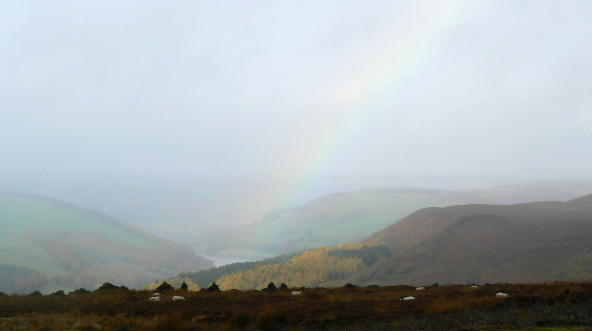
Is this rainbow in the Derwent Valley a sign of improving weather?

Phil, Neil and John head across Moscar Moor.

Crow Chin.

The views are improving, now we can clearly make out the Wheel Stones.
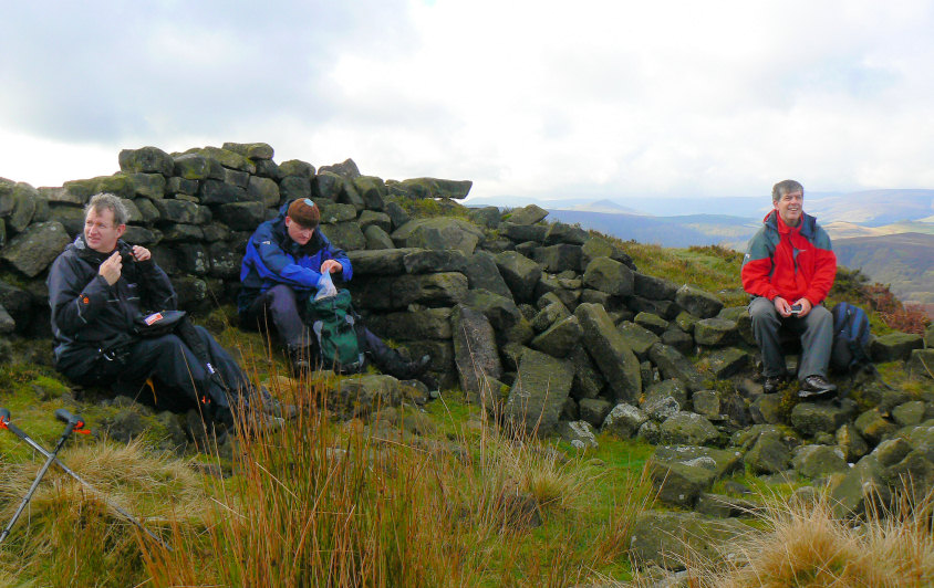
Phil, John and Neil grabbing the comfortable spots for lunch. We opted for lunch just below Stanage End rather than trying to find some shelter from the wind up on the edge itself.

One of the boundary stones at Stanage End. The other side has the letters WW.

A brief glimpse of Ladybower Reservoir as we head towards High Neb.
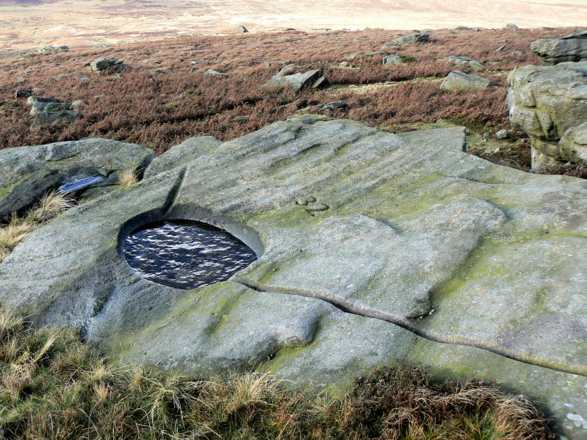
One of the many numbered water-holes that you can see along this edge.

Crook Hill is lit up by the sun.

Derwent Edge from Stanage Edge.

Win Hill and Lose Hill are much clearer now.

Stanage Edge from High Neb with Higger Tor in the distance.

High Neb's trig point.

Looking back along the edge towards Crow Chin from High Neb.

High Neb from the point where we started to descend along Long Causeway.

Stanage Edge.
All pictures copyright © Peak Walker 2006-2023